Contributor: Anne Ledbetter
Stream Name: Poplar Creek
Location: Cobb County, GA
(map)
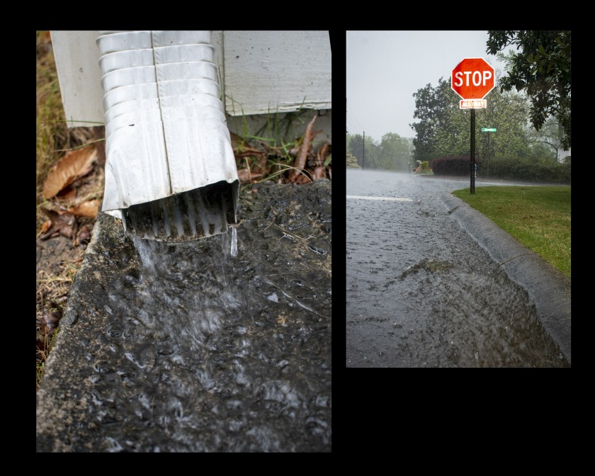
The EPA has stated that polluted storm water runoff is the main cause of water quality problems. Rain water runoff picks up pollutants like motor oil, pet waste, fertilizer and yard waste and carries them along on to the streams. Non-porous surfaces do not allow the water to gradually sink into the earth and thereby exacerbate runoff issues.
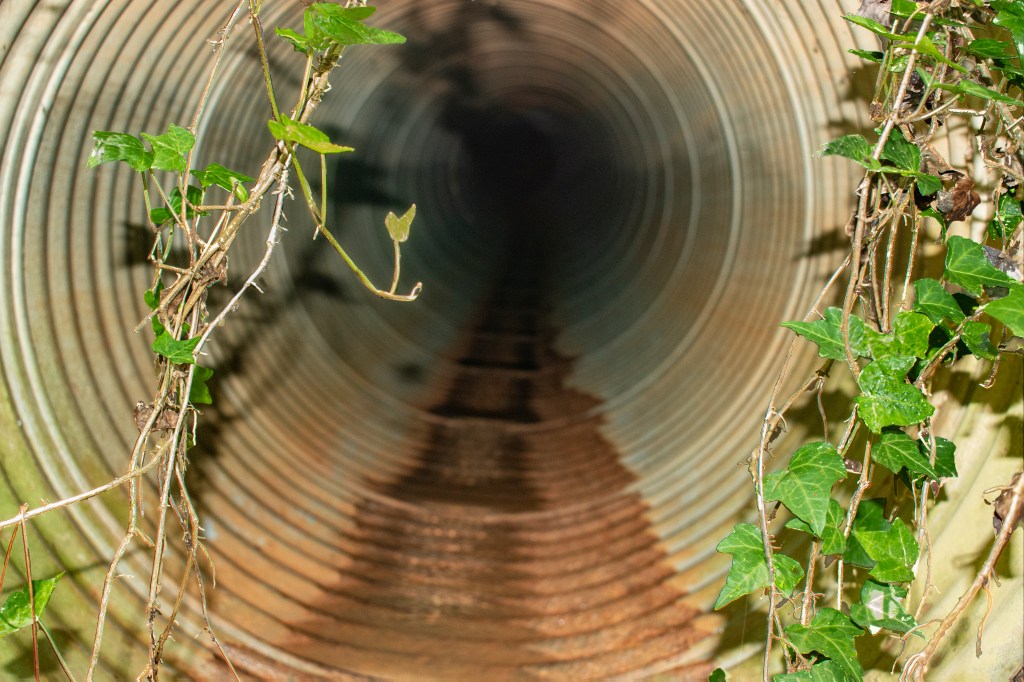
Suburban rain travels down street side gutters into storm drains.
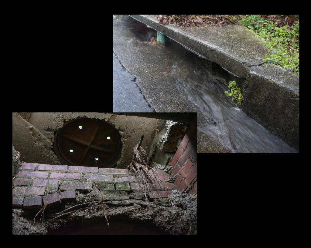
The storm drain (which is different then a sanitary sewer system; see last image for more in depth definition) carries water run-off directly into the nearest body of water.
The image shows a storm drain in use as well as the inside of the drain on a dry day. Notice how the pine straw and other debris can remain stuck in the drain.
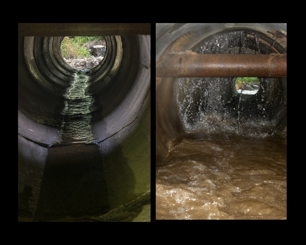
Beyond the drain, runoff travels by pipe, conduits or other open channels. The images are pipes on a low rain day versus a heavy rain. Notice how much more power and volume the water has on rainy day.
This increased force of the water can easily pick up bigger pollutants such as cigarette butts and pet waste.
The water rushes into the stream which can damage the stream’s ecosystem not only with pollutants, but the sheer force can damage the plants and animals living in the stream. Forceful run off also changes the course of the stream too. Straightening it out, causing erosion of the banks which sets a pattern for more and more damage.
Here’s how you can help make the community aware of storm drain run off issues. The pamphlet was put out by the Cobb County Ga Water System and also contains a contact where you can learn more and learn how to help
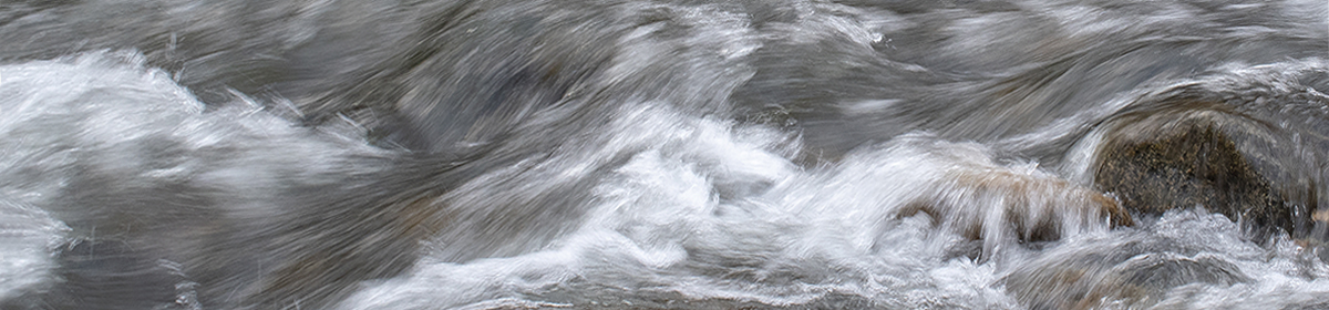
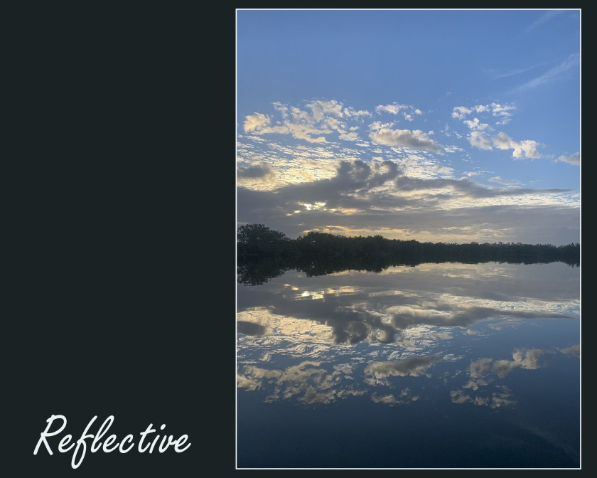
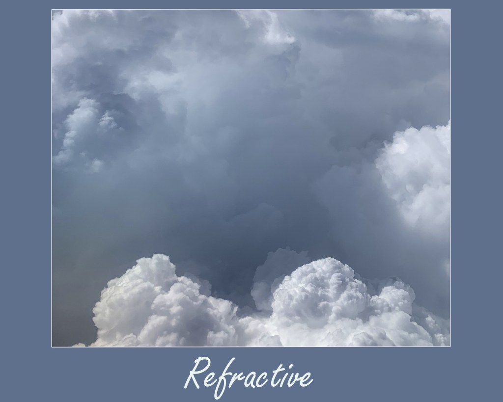
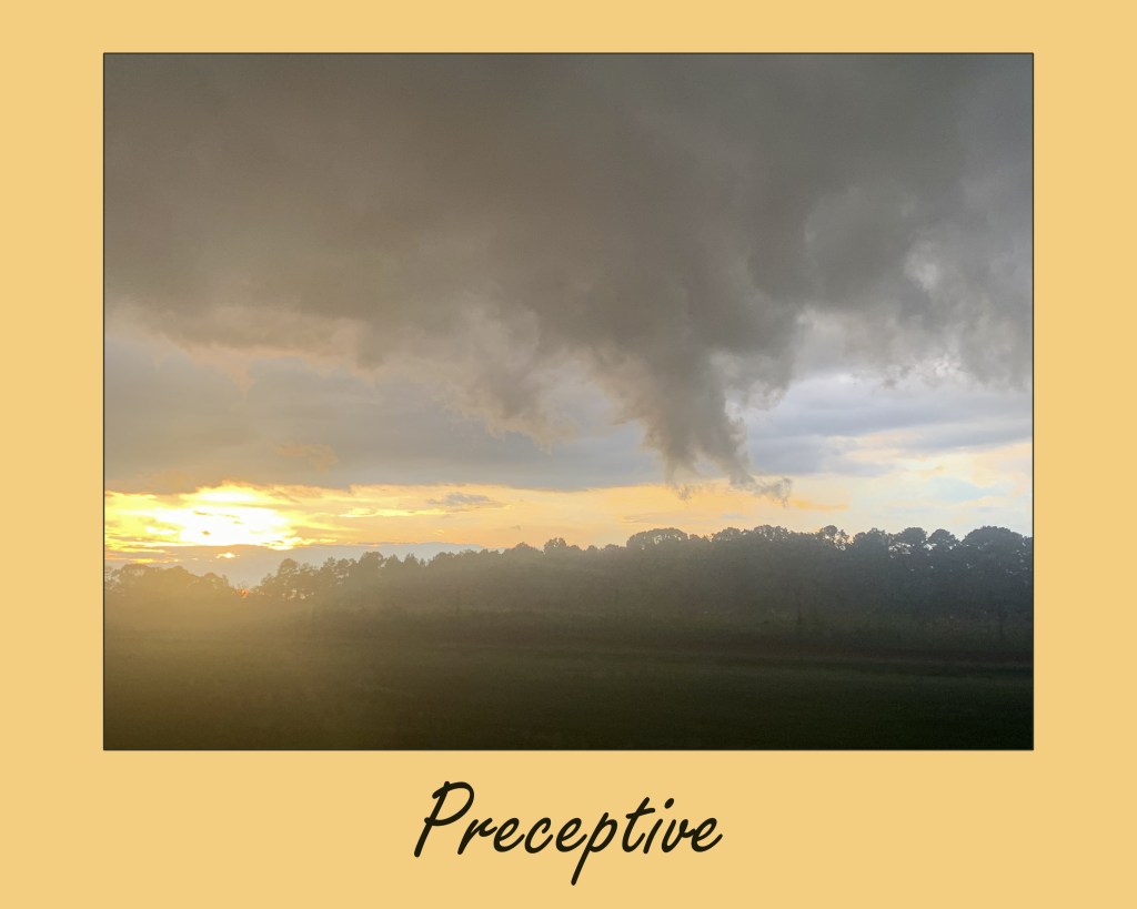
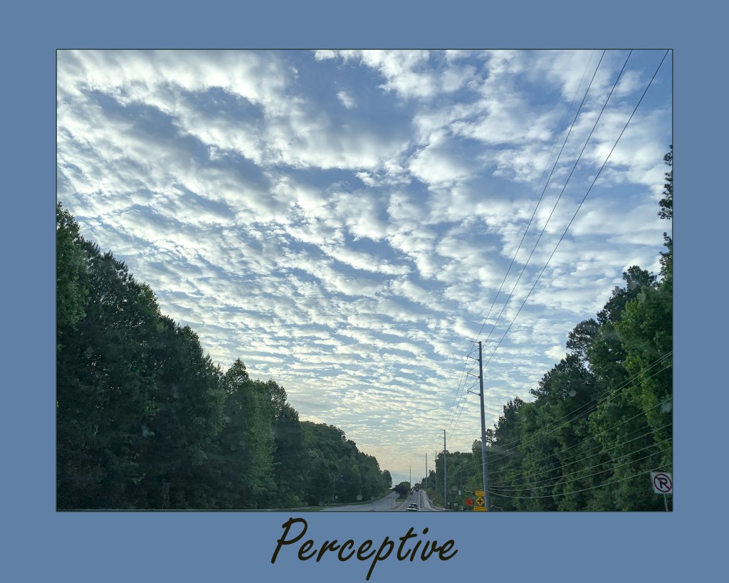
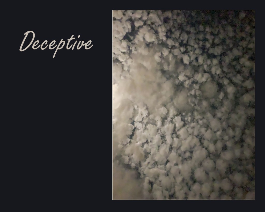
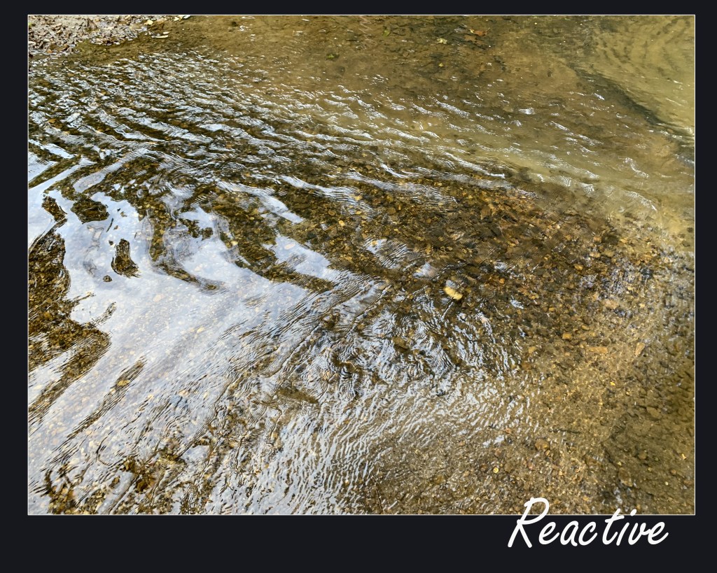
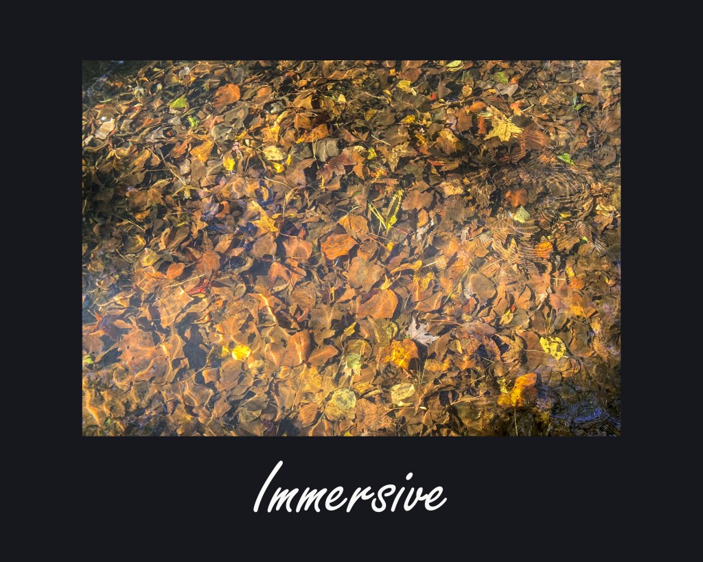
Observing water in different states provokes thoughts about different states of mind and mood. Each scene seemed to fit my mood at the moment I was taking these photos, which is probably what provoked me to pick up the camera and capture them. In which one did I feel small; joyful; anxious; invigorated; sad; relaxed; immersed, light-hearted. Water is amazing in all its forms, in all its moods. This collection of water images shows each form is as much part of a stream as the stream is itself.
Contributor: Alicia Windham
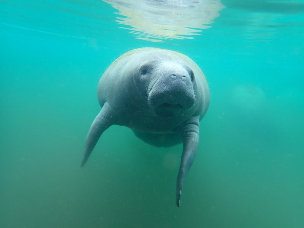
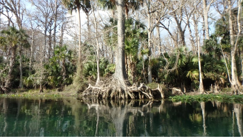
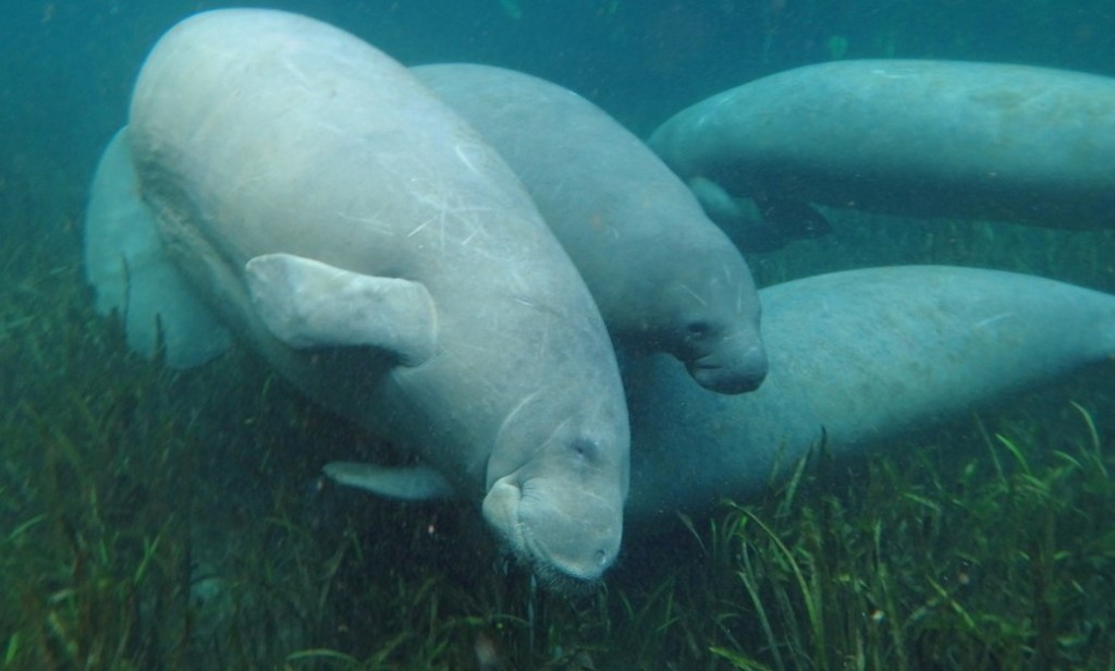
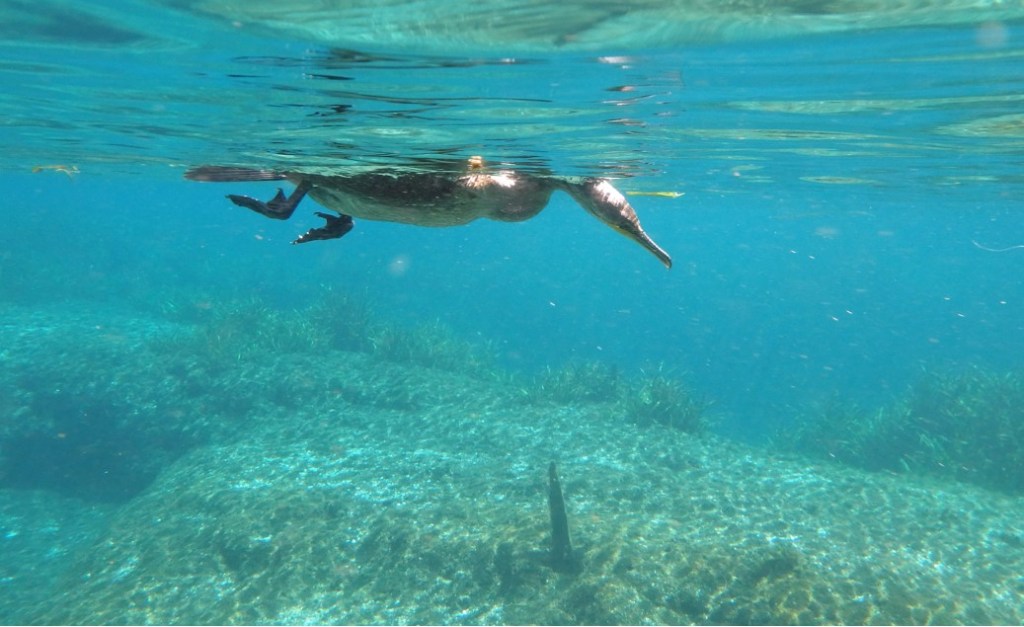
Stream Name: Silver River
Location: Marion County, FL
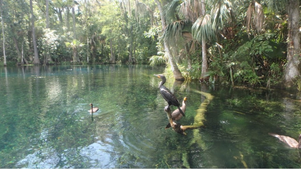
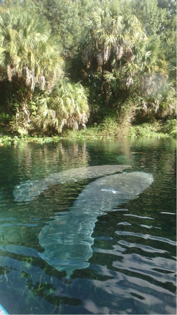
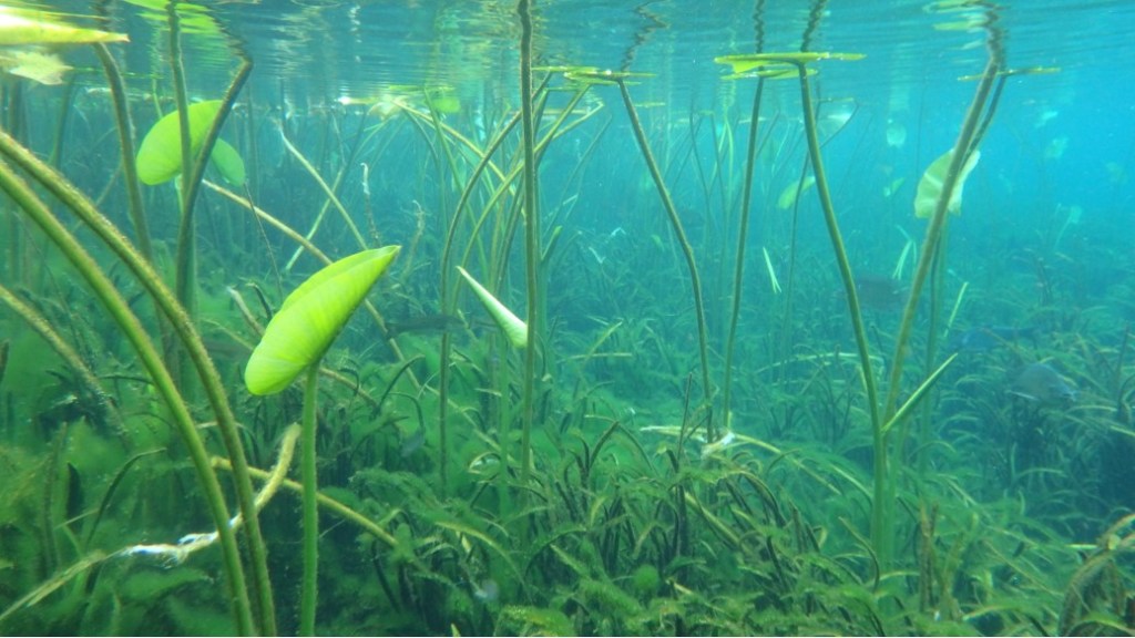
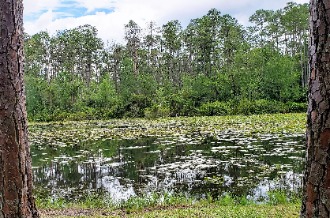
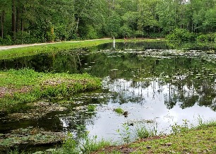
These are photographs from the pristine Silver River in North Central Florida. It contains one of Florida’s 1stmagnitude springs and has one of the largest artesian springs in the world. The river’s entire length is surrounded by Silver Springs State Park which protects it from development. It is a wonderful habitat for manatees, wading birds and other wildlife. Not only is the Silver River a great place for canoeing and kayaking but also provides a perfect educational venue where the general public can learn about the river environment. With the ongoing degradation of nearby coastal and riverine systems, some manatees are seeking healthier habitats with abundant food and clean water like the Silver River. Healthy riverine systems such as these are necessary to the survival of animals such as manatees. Given the interconnected nature of our river systems, Florida residents, legislators and environmental managers need to continue to work together to restore the ecological balance of all our waterways and to provide suitable habitat for its wildlife.
Swimming is strictly forbidden in the Silver River, the underwater shots were taken with a point-and-shoot camera held over the side of a boat.
Contributor: Anne Ledbetter
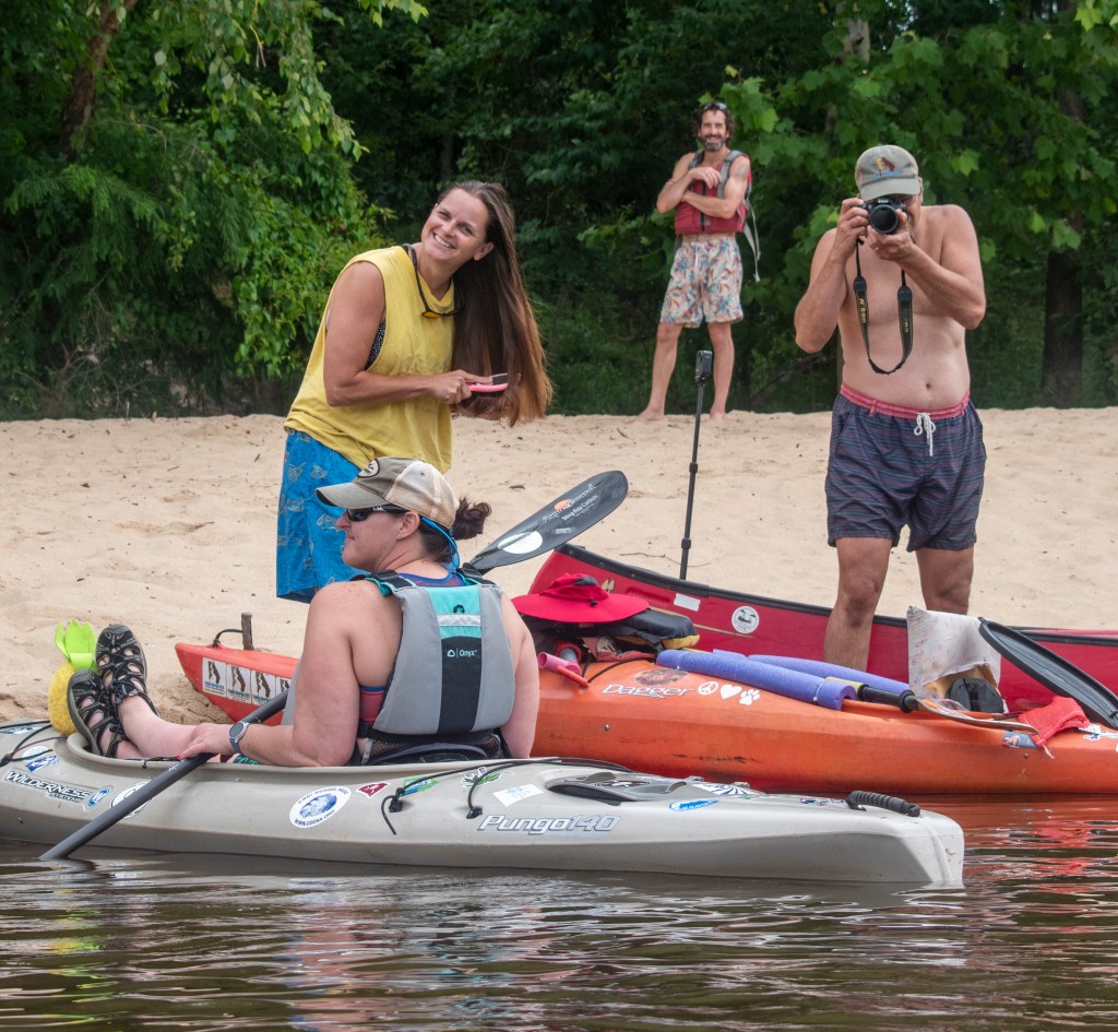
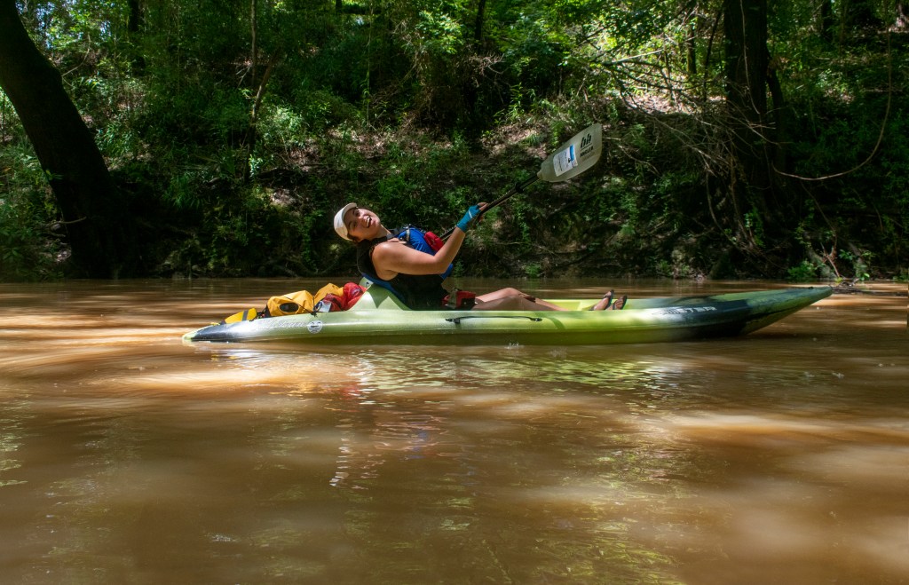
Stream Name: Flint River
Location: GA
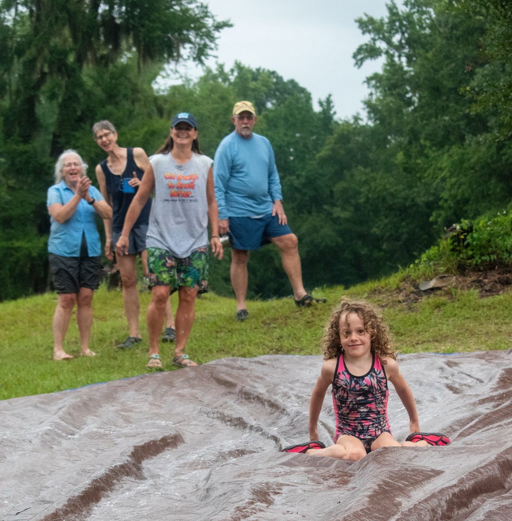
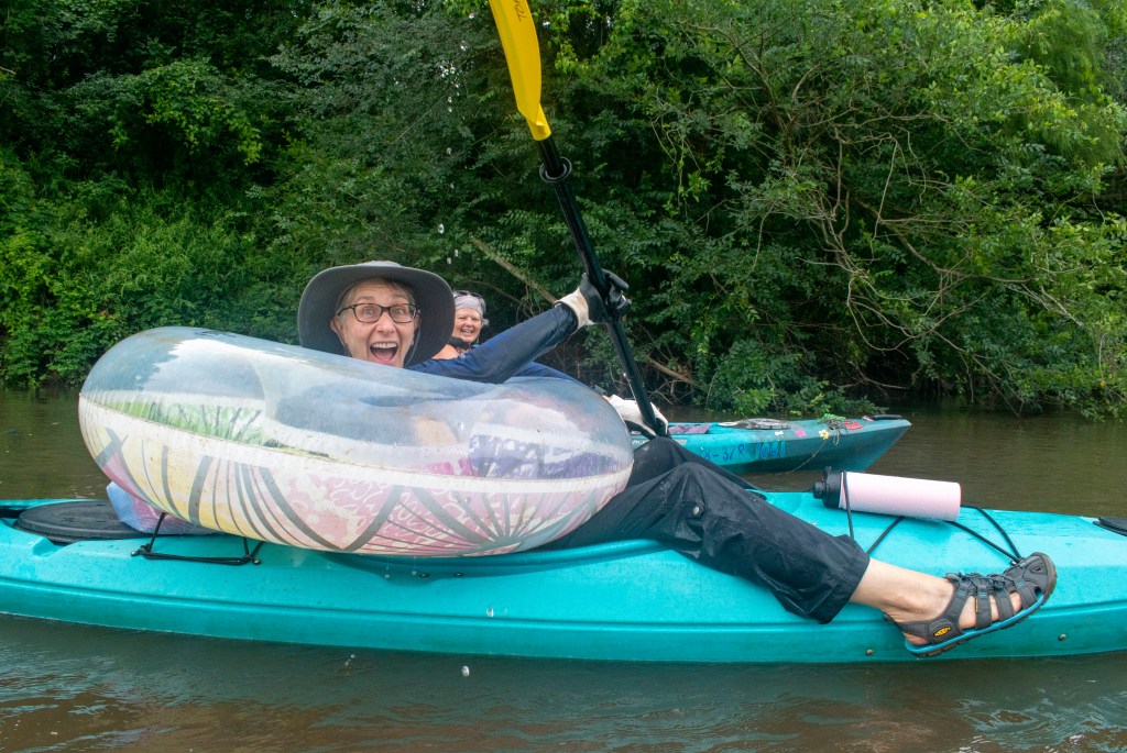
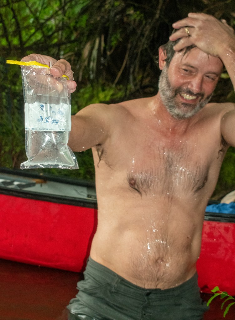
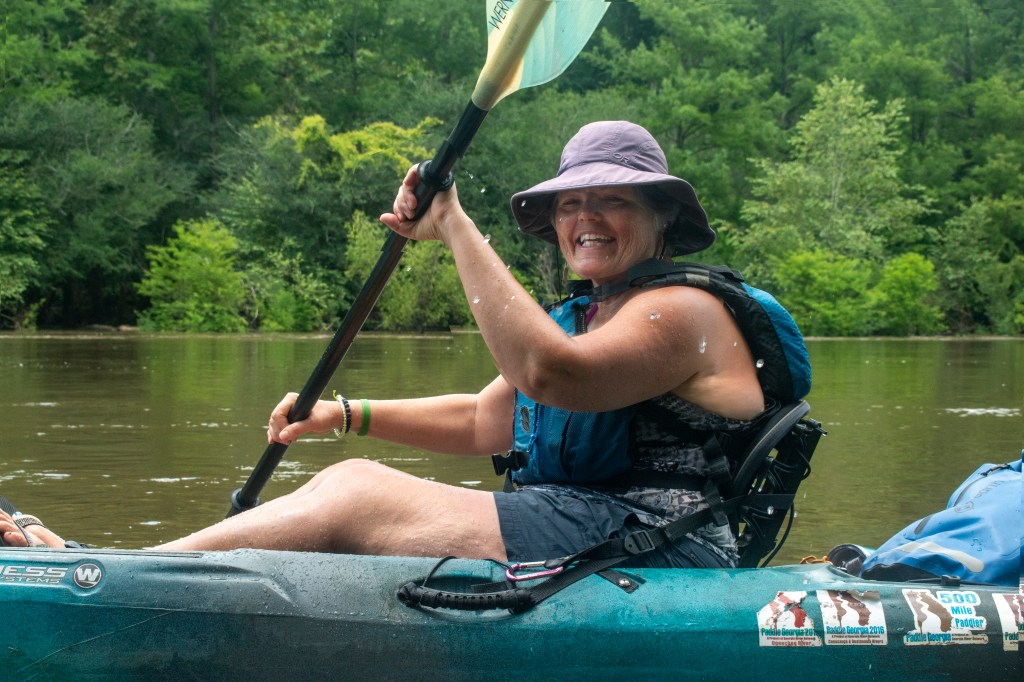
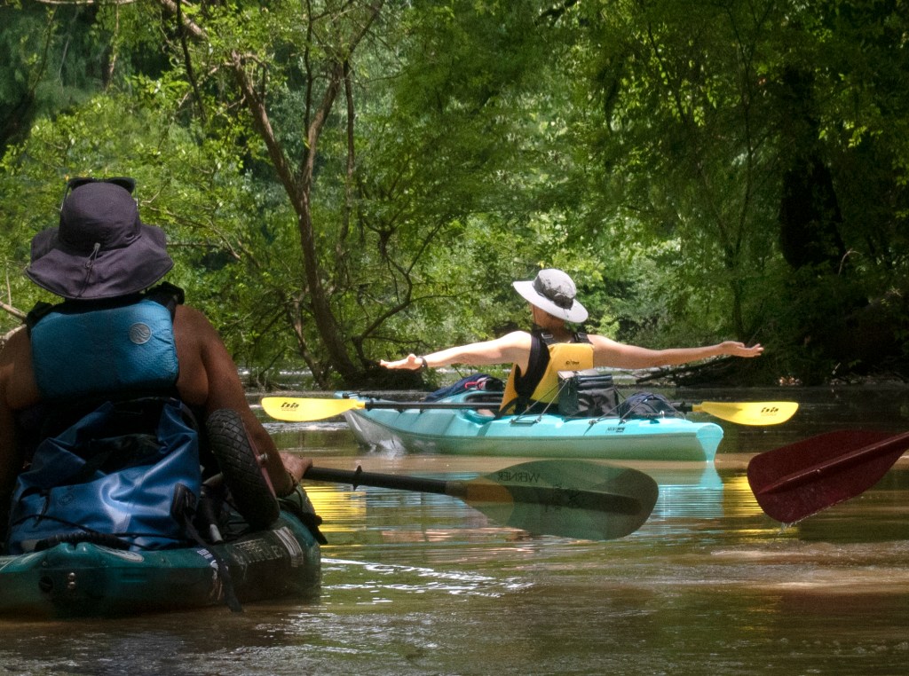
Sometimes, rivers just make people happy. I went on Paddle Georgia this June on the Flint River. Organizers pared down participation from a usual 300 to 400 participants to around 30 due to Covid, thereby making the trip a much more intimate experience. Another wonderful aspect of the trip was camping right by the river.
This week was a first for me, I had been a very tight quarantine bubble, focusing on keeping my 94 year old dad safe. The trip was a release, providing hope of returning to “normal”.
It was the joy of hanging out with people and being with someone long enough to get into interesting conversations. I have this wonderful appreciation of folks, both new friends and old. I love those silly little running jokes and random observations you hear from people that would not translate in any other situation but that very moment.
At one point I was hanging out with folks on a sandbar, we had pulled over for a hang out and a swim. Well, I started laughing and laughing an uncontrolled laugh that I had not had since the start of Covid. I felt all that Covid stress and anxiousness drift away. I felt a bit normal and comfortable and realized I would indeed be able to relax and just be with people in a post Covid world. I think it would be hard to mend and heal like this in any place but on the water.
Contributor: Mike Kahle
Stream Name: Tributary of Allatoona Creek
Location: Cobb County, GA
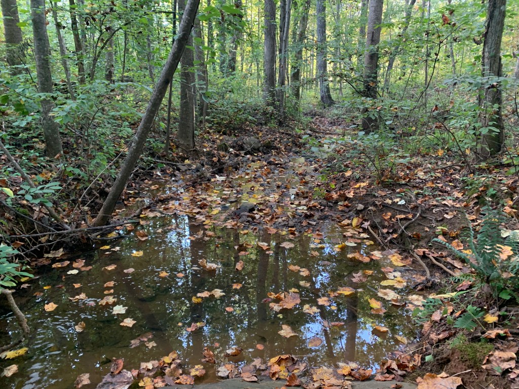
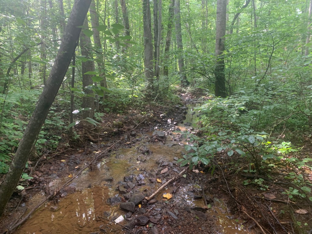
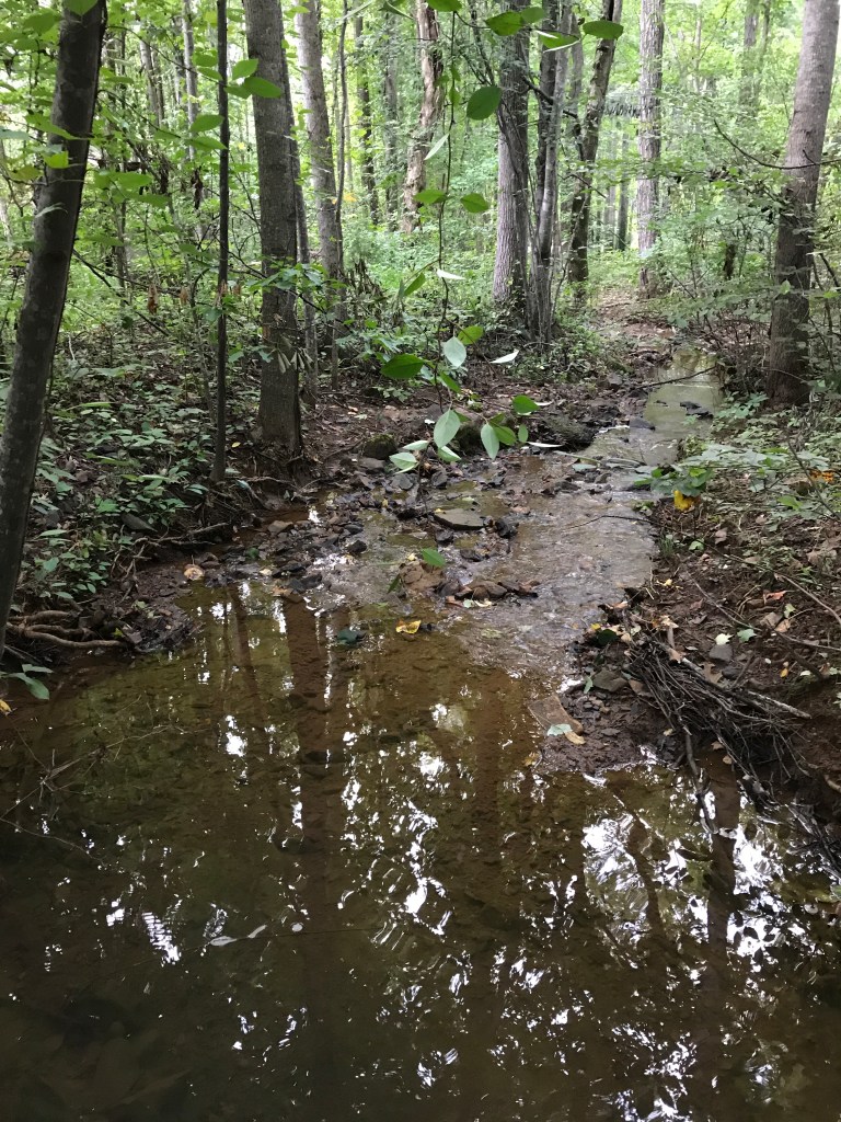
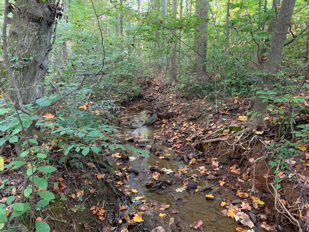
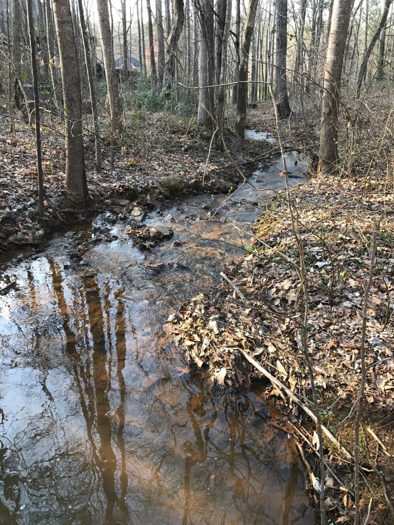
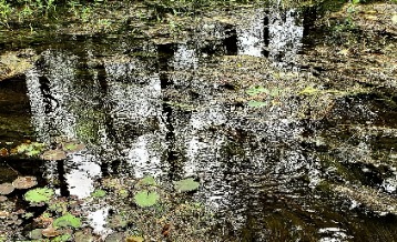
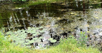
I am constantly astonished at the diversity of form and fluctuation of fluvial processes within each waterway I visit. Even the same stream, like the one in this story, which I visit nearly daily, reveals new faces, flow patterns, substrate changes, sounds, and reflections. I am either greeted with times of abundant lifeforms and times of lifelessness, but always a reason for pause.
The surrounding vegetation is what gives this stream its color and mood. It doesn’t matter how much water is flowing, it’s the riparian area that sets the tone.
Fall in a thunderstormDownstream 1Downstream 2Downstream 3Upstream 1Upstream 2Upstream 3
Contributor: Steve Houghton
Stream Name: Etowah River
Location: Bartow County, GA
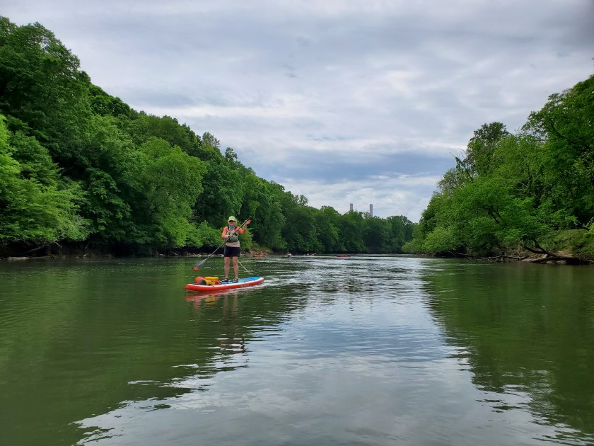
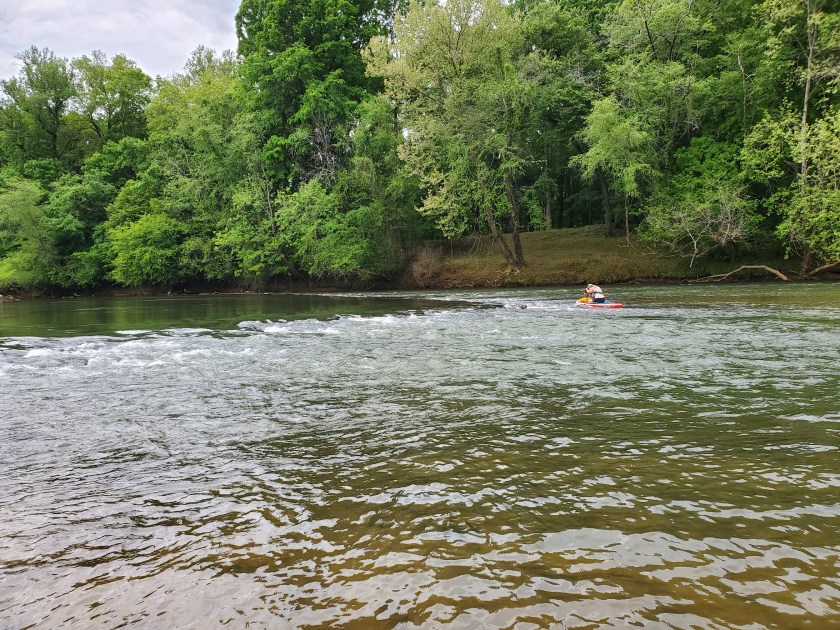
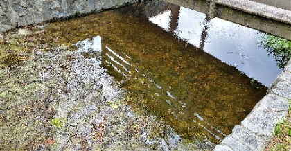
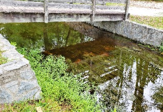
I love running the Etowah on a paddleboard, and the section from Euharlee to Hwy 411 is one of my favorites. The river here is Class 1 with small, easy rapids. Most of the rapids are caused by Native American fish weirs. The weirs are rocks piled into a v-shaped funnel that would concentrate fish in the narrow, downstream end. At the water level today, I was able to run all the rapids without catching my fin on any rocks. I have a single 2.5 inch whitewater fin on my NRS board. This section is often only a few feet deep in places and it’s great fun on a paddle board to be able to see the bottom. There are often large numbers of fish too. I saw a gar today that was at least three feet long, so big that it startled me a bit. The fish seem to congregate in the rapids and I sometimes find myself distracted from picking my way through the rocks because I’m watching the fish.
Looking back upriver at the Euharlee power plant towersRunning a fish weirNotice the ‘V’ shape of the weir
Contributor: Bonnie L. Boucek
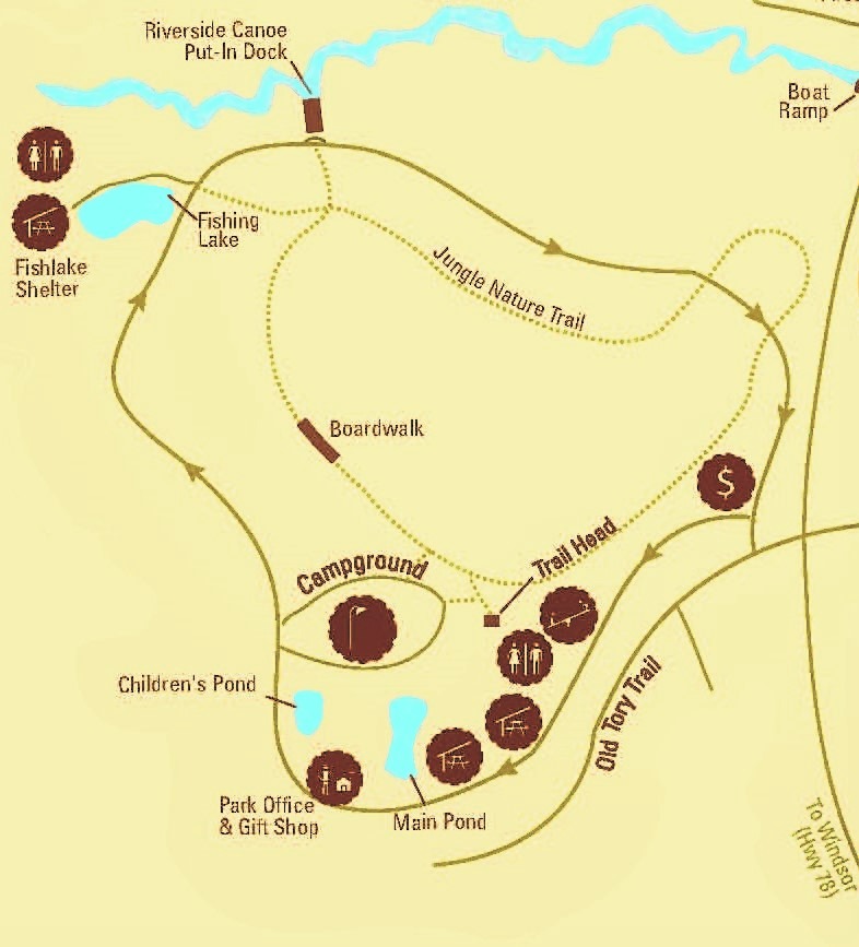
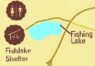
Stream Name: Fishing Lake
Location: Aiken State Park, Windsor, SC
(map)
Watershed: South Edisto River
1988 – The US Space Shuttle program restarted and the Iran – Iraq war ended. Actor Ronald Reagan was the US President and George Michael wanted to be my “Father Figure”. The Internet caught its first major virus. Wars, bombings, and the Olympics were all happening in a flurry of chaos. Yet, for me, the most important thing was I passed my driver’s license test. I was a young woman free to drive all over the vast lands of nothingness.
My town was [and still is] a small town that rolls up activity when the sun sets. Like any teenager with a car, license, and nothing to do, I created my own fun. I admit I did some wild, crazy stunts as a teenager. Enough of them to know I’m blessed to be here today. The one that sticks out after all this time is one I still do today [2021].
That’s when it happened. I found the magic spot. Serenity, nature, and a special sense of life bursting out of everything. Aiken State Park located in the middle of nowhere, but still felt like home to a born city girl. Free to enter (the perfect price for a teenager) and an ideal escape from everything.
When I traversed the Internet web and discovered the workshop for this project, I knew I had discovered a goldmine. The chance to combine my loves of writing and nature in a more personal experience. More than that was the chance to share a special place with the world.
The Fishing Lake was magical to a sixteen-year-old girl. It still is decades later. To honor both the place and the teenager, I have decided for the Our Stream Stories to do a series – bi-monthly visits to see how the area changes and to document it through a variety of poetic forms.
The main grounds of Aiken State Park for visitors to enjoy the parks amenities. It’s tucked away deep in the woods – a perfect escape from the modern world and those troubles that weigh down a mind.
Creative Moment: Look at the map as something other than a map. What do you see? Feel free to share in the comments.
Driving around I found the spot that called out to me the most. It also touched my muse who was overwhelmed with joy at the prospect of me writing, which I did. The Fishing Lake was the perfect spot to sit, relax, and enjoy just being.
This hidden gem is located all the way at the back of the park. To get to the shelter and restrooms, you need to drive down a little access road. A small parking lot is before the bridge you walk across into the “Maintained Wilderness.”
Magic Men
Times were hard after the market fell, crashed, then burned in 1929. The wealthy were no longer wealthy. The poor were now even poorer. There was no middle class. It was tough all over the United States. President Franklin D. Roosevelt created programs to keep the people and country going. The Civilian Conservation Corps (CCC) was one such program. It gave hammers, self-esteem, and life skills to millions of men. Magic men found hidden beauty. Magic men chopped, hauled, built, and toiled those acres. Magic men made this park. Thank goodness for magic men.
Simple Design
for a simple place. Hidden deep within the woods far away from the world’s rat race. Eight pillars standing tall with the weight of the roof for eternity. No walls to restrain the people’s view or wind’s gentle nudge. Six tables placed for companionship.
Outlined
Two, mighty pines stand tall. Nature’s perfect framed window. Exceptional.
Water brims with life hidden beneath the surface. Ripples reflect life: the clue.
Mirror, Mirror
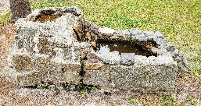
Water seems so still, trapped in time caught in the past surrounded by trees. Manmade lake – lone, white pipe marks the well dug and abandoned. Water flows and flows, never ending like the changing seasons. Warm spring breeze kisses the water’s top. Trees caught and mirrored back. Blue skies seen below the surface.
Tensions
Water catches trees cast-offs cluttering surface, smothering the view. Almost
Small jumping spiders break tension and soon garner attention. Strange life sees and gobbles, causing ripples to flow, out, out, and out. Never-ending.
Songs
Ripples shimmer, sunlight glimmers. Bright green grasses outline your shores. Lily pads dot the water ways, Gathering to make chorus grounds For nature’s choir to croak its song.
Bridge
A manmade moat, guided runoff,
Protected lands by stones placed with care
The crossing bridge to the magical realm
Reflects itself back to the real world.
Surreal in feeling, but peaceful to behold.
Flows
Water flows to greener ways down a path another flows hidden behind brush.
Greater than seen here South Edisto River winds, twists her way to ocean views.
Contributor: Anne Ledbetter
Stream Name: Bell Creek
Location: Towns County, GA
Watershed: Tennessee River
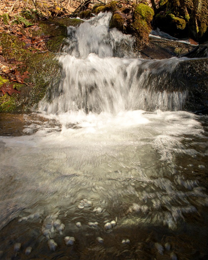
Steve and I had planned to do a long hike from a friend’s house, but, when I started to get a migraine, the day took an unexpected turn. Instead of a strenuous hike, we decided to follow a creek and spend our time exploring and enjoying nature.
The stream dropped sharply from a high ridge and presented numerous cascades. These images capture the effects of great sunlight on moving water.
Contributor: Anne Ledbetter
Stream Name: Poplar Creek
Location: Cobb County, GA
(map)
Watershed: Chattahoochee River
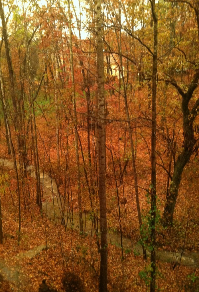
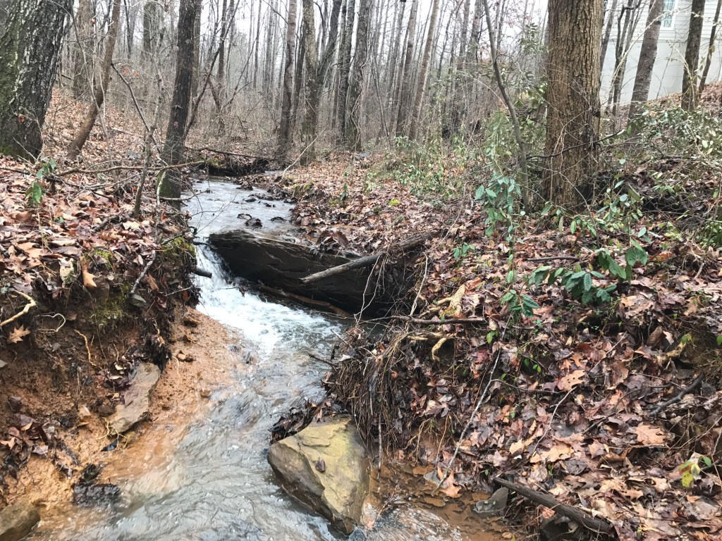
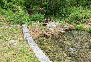
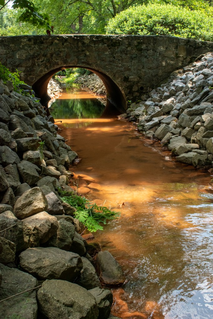
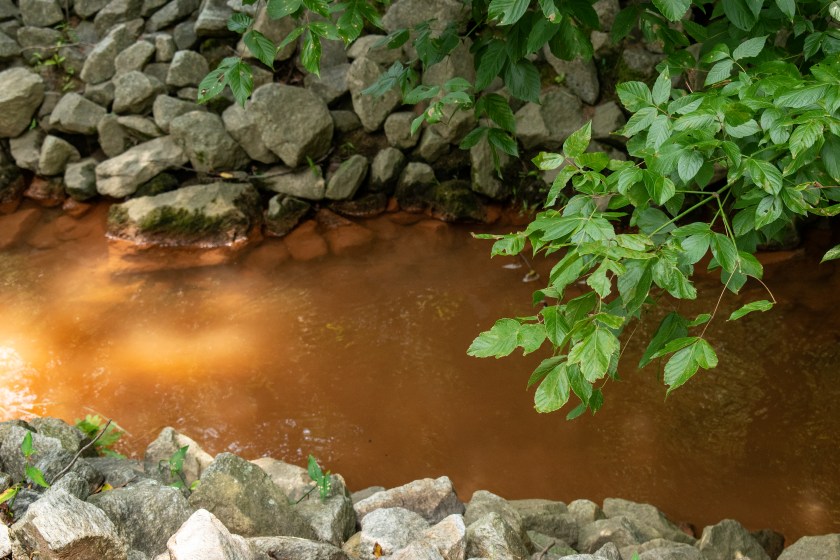
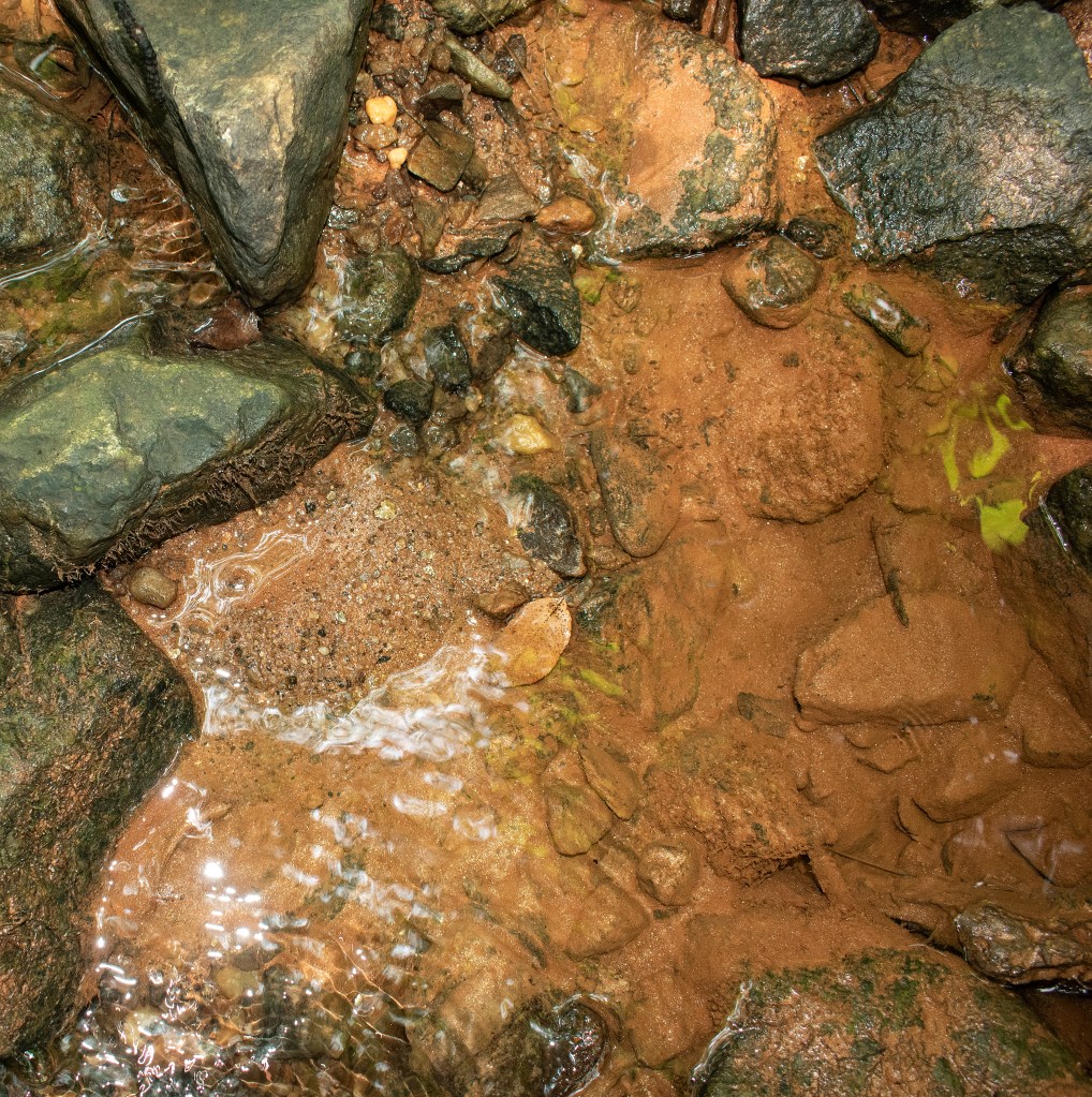
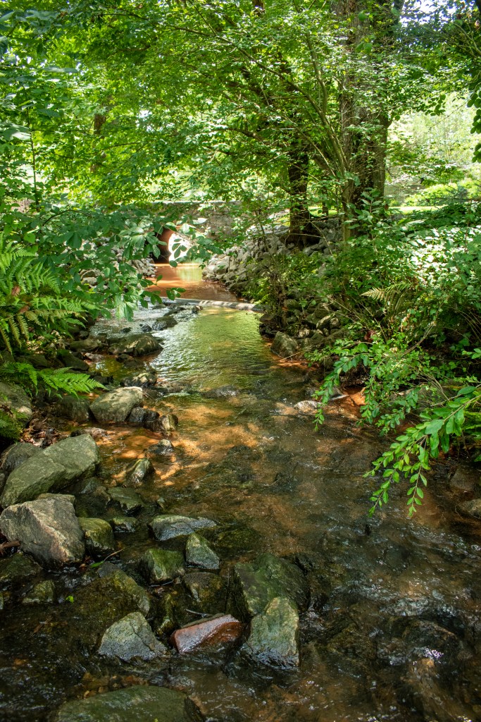
I monitor Poplar Creek’s water quality for Cobb County. One of my neighbors, who has the creek in her front yard, alerted me to a change to the creek — the water was orange.
Orange is never a good color for a creek.
Notice the silty color at the top of the photo. Time to investigate…
I headed upstream, and within a quarter of a mile, the water looked like it had a higher concentration of silt.
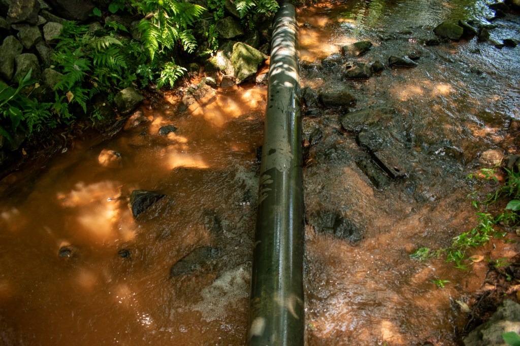
Making progress. It looks like the silt is coming from the left side of the creek.
This is the pipe that was feeding the dirty water into Poplar Creek. I scrambled up a hillside, but came to railroad tracks and a fenced industrial area.
This seemed like a one-time event because the pipe was dry.
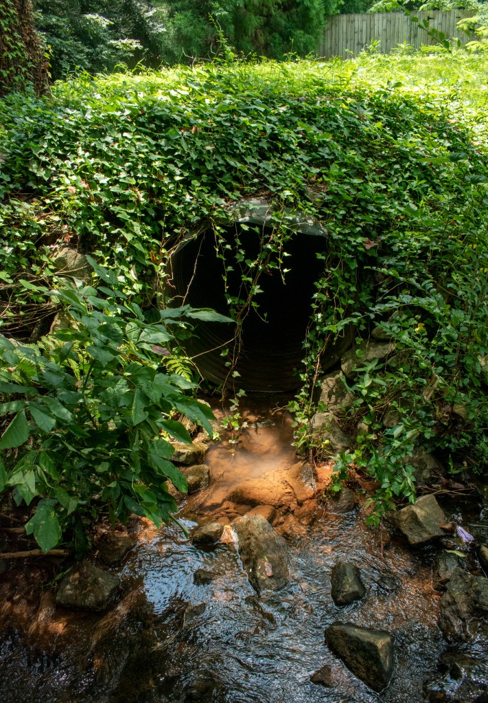
Cobb County Authorities always do a great job of coming out and checking on problems. So I called them and gave them the info I had gathered. Cobb county investigated but since it had been a one time event they were unable to find the source and follow up with anything. The good part though is now there is a record of the event so if it happens again there will be more information to correct the problem.
Contributor: Anne Ledbetter
Stream Name: Rottenwood Creek
Location: Cobb County, GA
(map)
Watershed: Chattahoochee River
These images come from Bob Callan trail. This 3-mile paved trail feels quite urban at times as it runs under roads and past office buildings, but it also offers a remote, natural feel too . The trail parallels Rottenwood Creek to its confluence with the Chattahoochee River.