Fish Weirs on the Etowah

Contributor: Steve Houghton
Stream Name: Etowah River
Location: Bartow County, GA

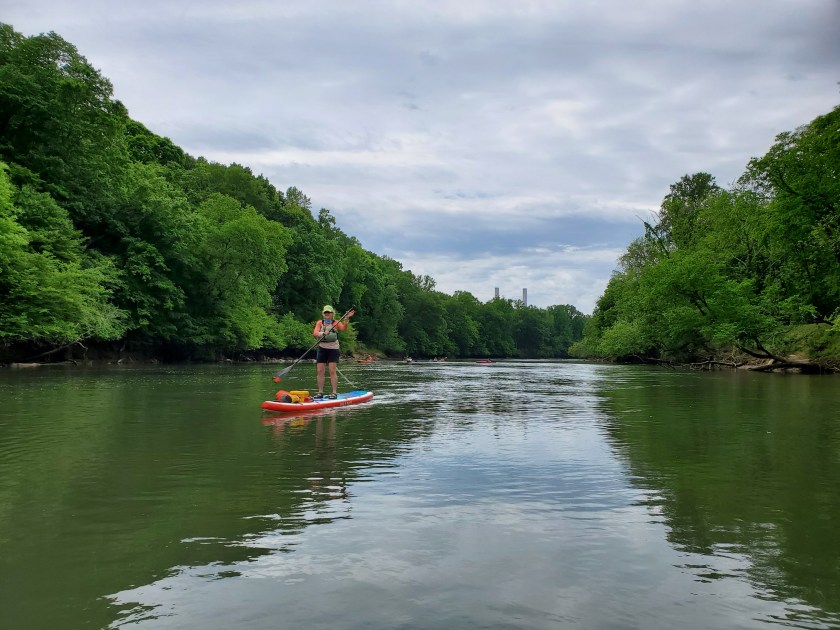
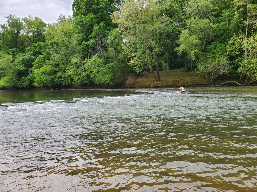
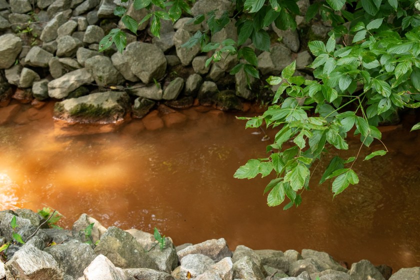
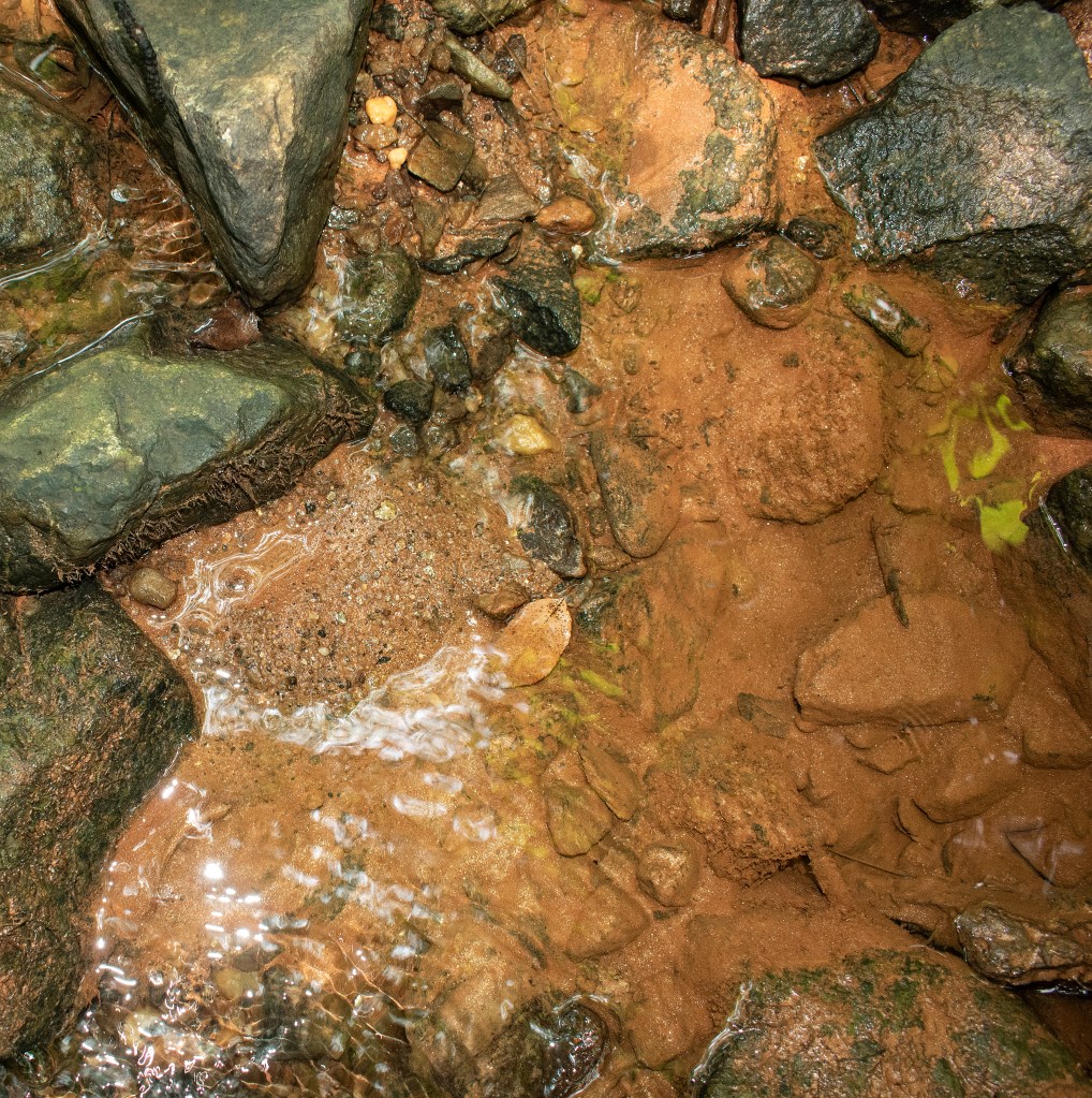
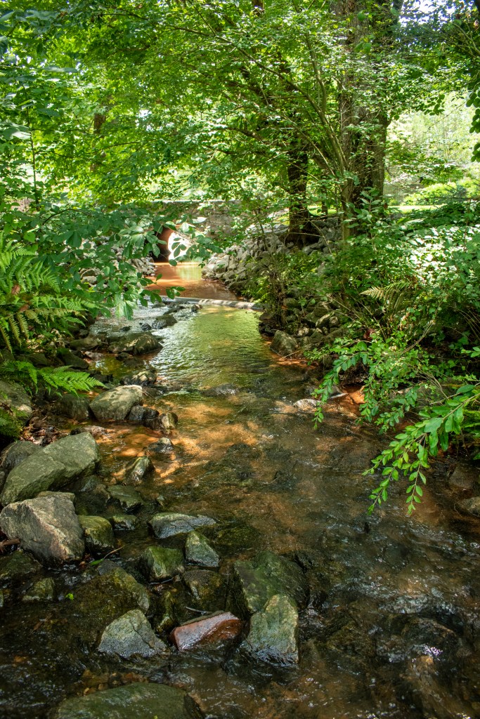
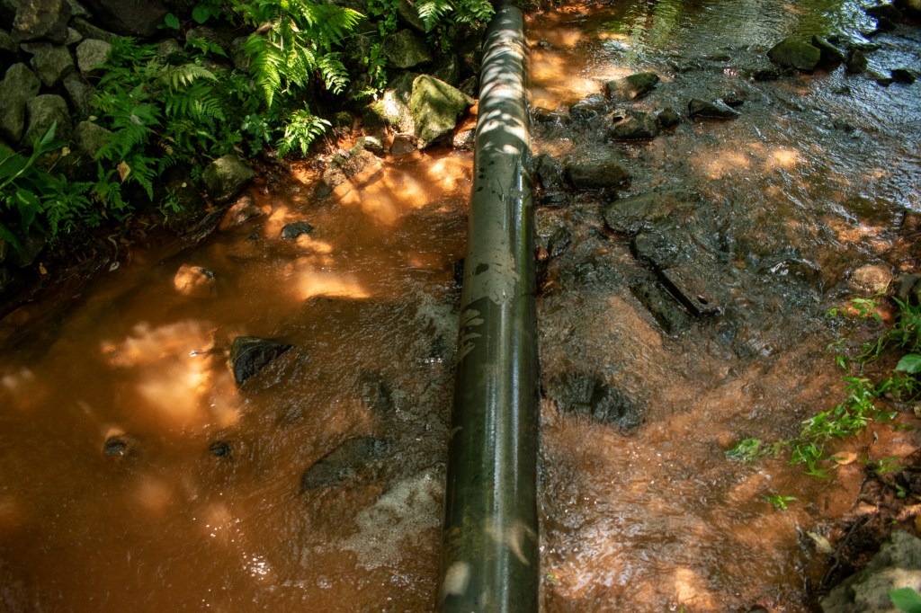
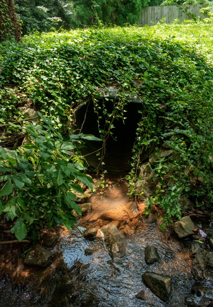
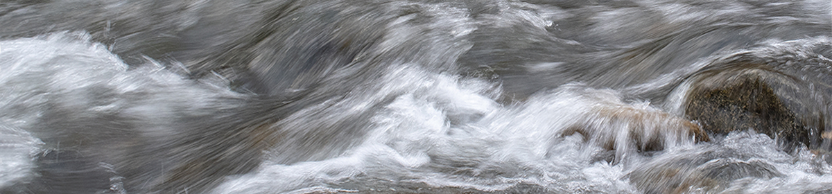
I love running the Etowah on a paddleboard, and the section from Euharlee to Hwy 411 is one of my favorites. The river here is Class 1 with small, easy rapids. Most of the rapids are caused by Native American fish weirs. The weirs are rocks piled into a v-shaped funnel that would concentrate fish in the narrow, downstream end. At the water level today, I was able to run all the rapids without catching my fin on any rocks. I have a single 2.5 inch whitewater fin on my NRS board. This section is often only a few feet deep in places and it’s great fun on a paddle board to be able to see the bottom. There are often large numbers of fish too. I saw a gar today that was at least three feet long, so big that it startled me a bit. The fish seem to congregate in the rapids and I sometimes find myself distracted from picking my way through the rocks because I’m watching the fish.

Looking back upriver at the Euharlee power plant towers
Running a fish weir
Notice the ‘V’ shape of the weir

Light on Bell Creek

Contributor: Anne Ledbetter
Stream Name: Bell Creek
Location: Towns County, GA
Watershed: Tennessee River

Steve and I had planned to do a long hike from a friend’s house, but, when I started to get a migraine, the day took an unexpected turn. Instead of a strenuous hike, we decided to follow a creek and spend our time exploring and enjoying nature.

The stream dropped sharply from a high ridge and presented numerous cascades. These images capture the effects of great sunlight on moving water.

Continue reading “Light on Bell Creek”

Looking for a Leak

Contributor: Anne Ledbetter
Stream Name: Poplar Creek
Location: Cobb County, GA (map)
Watershed: Chattahoochee River

I monitor Poplar Creek’s water quality for Cobb County. One of my neighbors, who has the creek in her front yard, alerted me to a change to the creek — the water was orange.

Orange is never a good color for a creek.

Notice the silty color at the top of the photo. Time to investigate…

I headed upstream, and within a quarter of a mile, the water looked like it had a higher concentration of silt.

Making progress. It looks like the silt is coming from the left side of the creek.

This is the pipe that was feeding the dirty water into Poplar Creek. I scrambled up a hillside, but came to railroad tracks and a fenced industrial area.

This seemed like a one-time event because the pipe was dry.

Cobb County Authorities always do a great job of coming out and checking on  problems. So I called them and gave them the info I had gathered. Cobb county investigated but since it had been a one time event they were unable to find the source and follow up with anything. The good part though is now there is a record of the event so if it happens again there will be more information to correct the problem.

Critters in a Corner

Contributor: Anne Ledbetter
Stream Name: Rottenwood Creek
Location: Cobb County, GA (map)
Watershed: Chattahoochee River

These images come from Bob Callan trail. This 3-mile paved trail feels quite urban at times as it runs under roads and past office buildings, but it also offers a remote, natural feel too . The trail parallels Rottenwood Creek to its confluence with the Chattahoochee River.

Continue reading “Critters in a Corner”